Category

Survey Work Tenders
A field of applied statistics of human research surveys, survey methodology studies the sampling of individual units from a population and the associated survey data collection techniques, such as questionnaire construction and methods for improving the number and accuracy of responses tosurveys.


Topological survey
by : National Tenders
Quantity : 1 NO
Price : NA
Survey Work Tenders
|
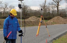
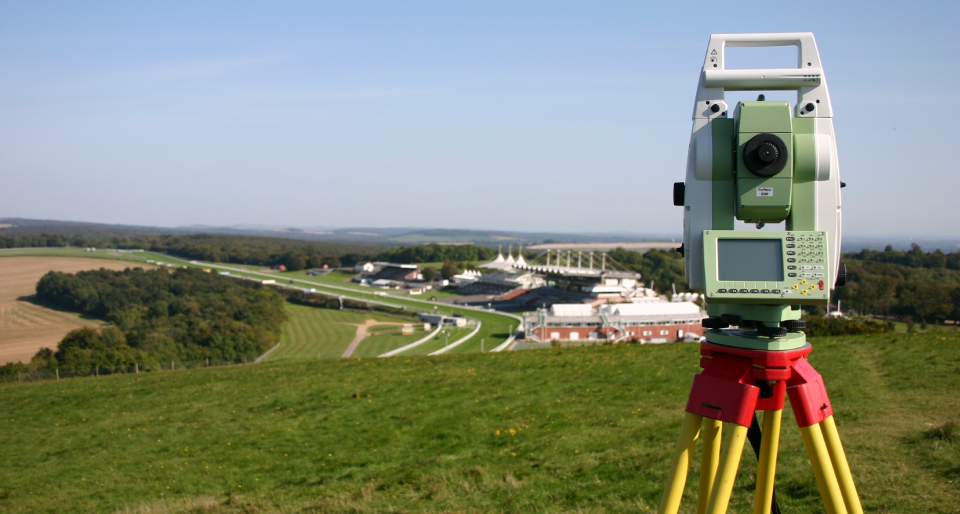
Topographic Surveys are used to identify and map the contours of the ground and existing features on the surface of the earth or slightly above or below the earth's surface (i.e. trees, buildings, streets, walkways, manholes, utility poles, retaining walls, etc.). If the purpose of the survey is to serve as a base map for the design of a residence or building of some type, or design a road or driveway, it may be necessary to show perimeter boundary lines and the lines of easements on or crossing the property being surveyed, in order for a designer to accurately show zoning and other agency required setbacks.
Enquiry Now
Similar Product
When We measure the height difference of road in varies places please Watch the video is completly
A longitudinal survey is a correlational research study that involves repeated observations of the same variables over long periods of time, often many decades. It is often a type of observational study, although they can also be structured aslongitudinal randomized experiments.
A geological survey is the systematic investigation of the geology beneath a given piece of ground for the purpose of creating a geological map or model.
Topographic Surveys are used to identify and map the contours of the ground and existing features on the surface of the earth or slightly above or below the earth's surface (i.e. trees, buildings, streets, walkways, manholes, utility poles, retaining walls, etc.). If the purpose of the survey is to serve as a base map for the design of a residence or building of some type, or design a road o[..]